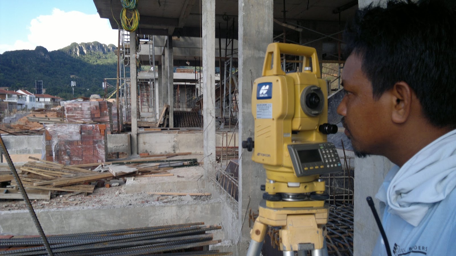
If You’ve Ever Wondered What These Guys By The Roadside Do With Cameras…
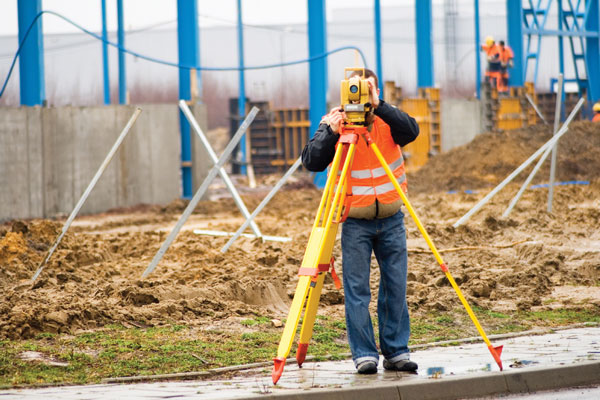
We often see them peeping through the lens of a camera while waving instructions to workers.
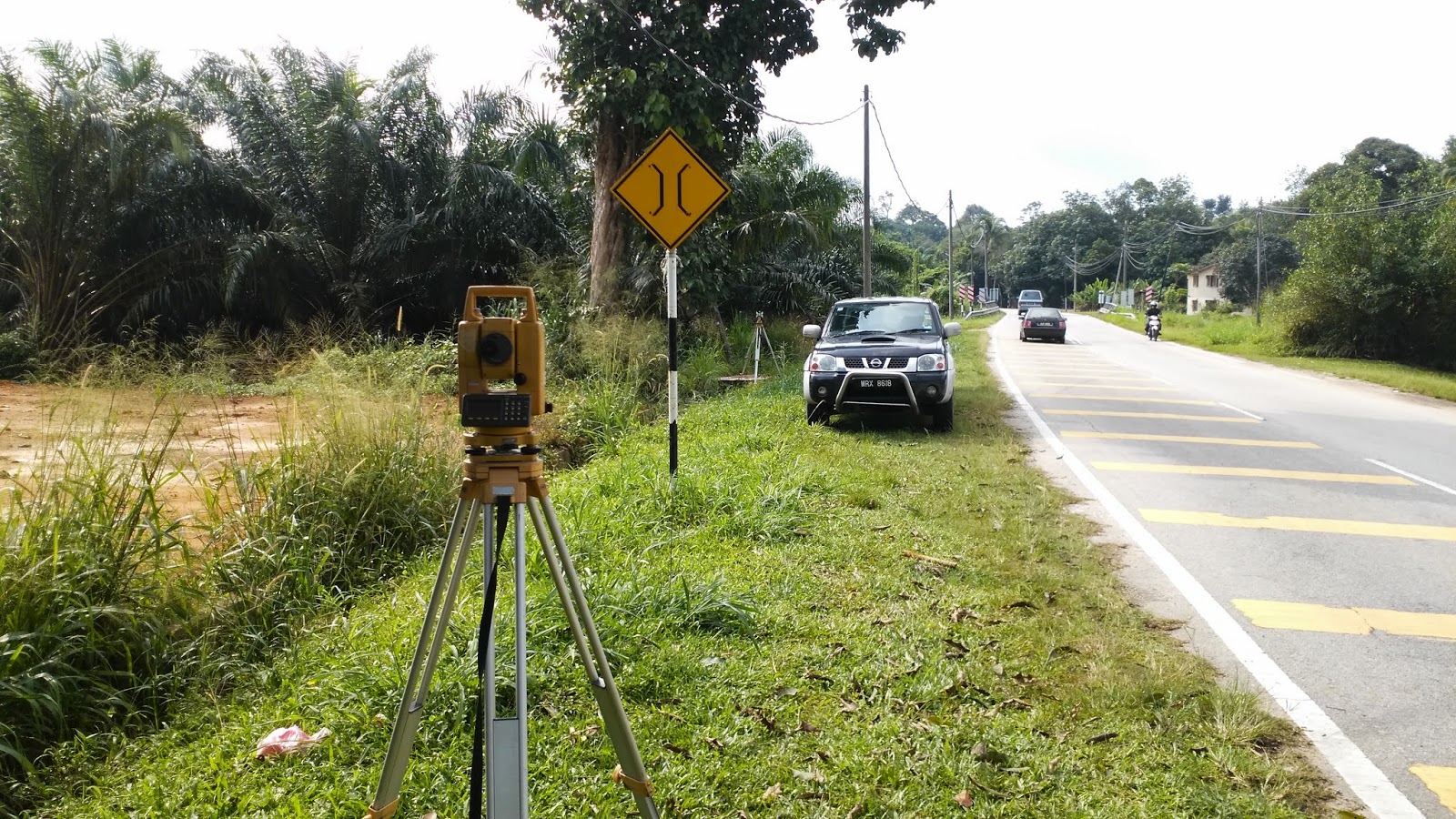
You might've seen them by the side of the road, peeping through the lens of a camera while waving instructions to workers
It may look like an insignificant job to us, but they play crucial roles in the measurement and mapping of our surrounding environment
Land surveyors are tasked to take extremely accurate readings of distance, angle, level, and position in order to determine where stuff needs to be built or where property boundaries are.
A land surveyor will also perform research to discover any previously recorded boundaries and compare them with their own physical measurements.
Essentially, land surveyors play an important part in the construction of roads and buildings. They also help in the creation of maps.
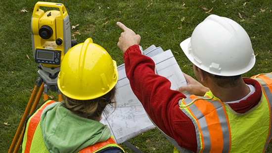
While out on a project site, land surveyors will perform a range of mathematical measurements to gather the information necessary to complete a detailed report and map of the land.
They will map out distances, heights, slopes, and features which will allow architects and builders to design, develop and build on the site.
Back in the office, the data is used to create detailed maps for those involved in designing and developing the site. These surveys help determine what construction is possible given the lay of the land.
Their services are highly sought-after in the residential and commercial sector
In the residential sector, land surveyors are used when building houses and establishing boundaries to ensure clarity between neighbours. They also assess the land to ensure whether the houses or buildings will fit while adhering to local council guidelines.
In the commercial sector, land surveyors are required in the early developments of roadworks, tunnelling, mining projects, shopping centres, and so on.
It's safe to say that our physical world would fall into total chaos without them.
What about the equipment they use? Are those cameras?
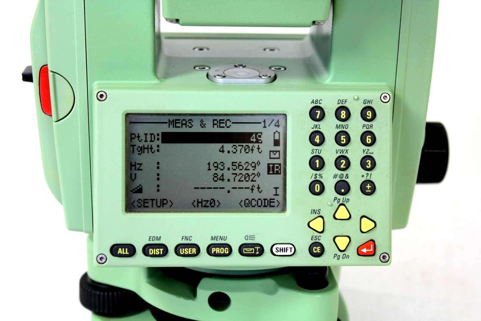
According to this Quora thread, the camera-looking equipment that land surveyors use is called total stations.
Kashish Kumar, a civil engineer explains in the thread, "a total station is an advanced instrument which combines the work of all survey instruments like the kinds of chains and compass. It uses laser or infrared rays to calculate the x, y, and z coordinates of a point using the time the ray takes to complete its journey of reflecting from a prism."
He added that some total stations are more advanced than others.
How does one become a licensed land surveyor in Malaysia?
To become a registered land surveyor, you must graduate with relevant education qualifications. Many local and overseas institutions offer degree and diploma courses that specialise in land surveying.
Upon graduation, you are required to train under the supervision of a licensed land surveyor and pass an examination.
Land surveyors in the country are under the governance of The Land Surveyors Board. Established on 1 May 1958, under the Licensed Land Surveyors Act 1958 (Act 458), the corporate body is responsible for monitoring and regulating land surveying practices and other related matters pertaining to the practice.
