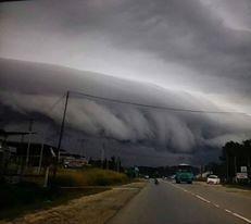
[PHOTOS] Massive 'Cloud Tsunami' Hits Sabah
Jaw-dropping!
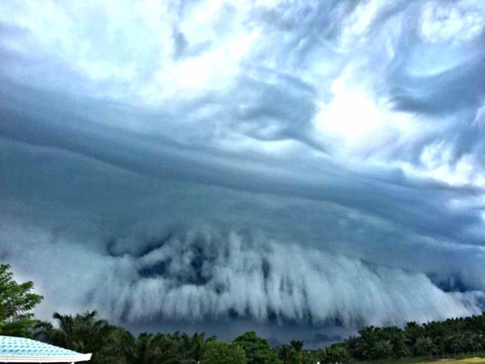
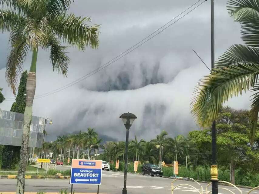
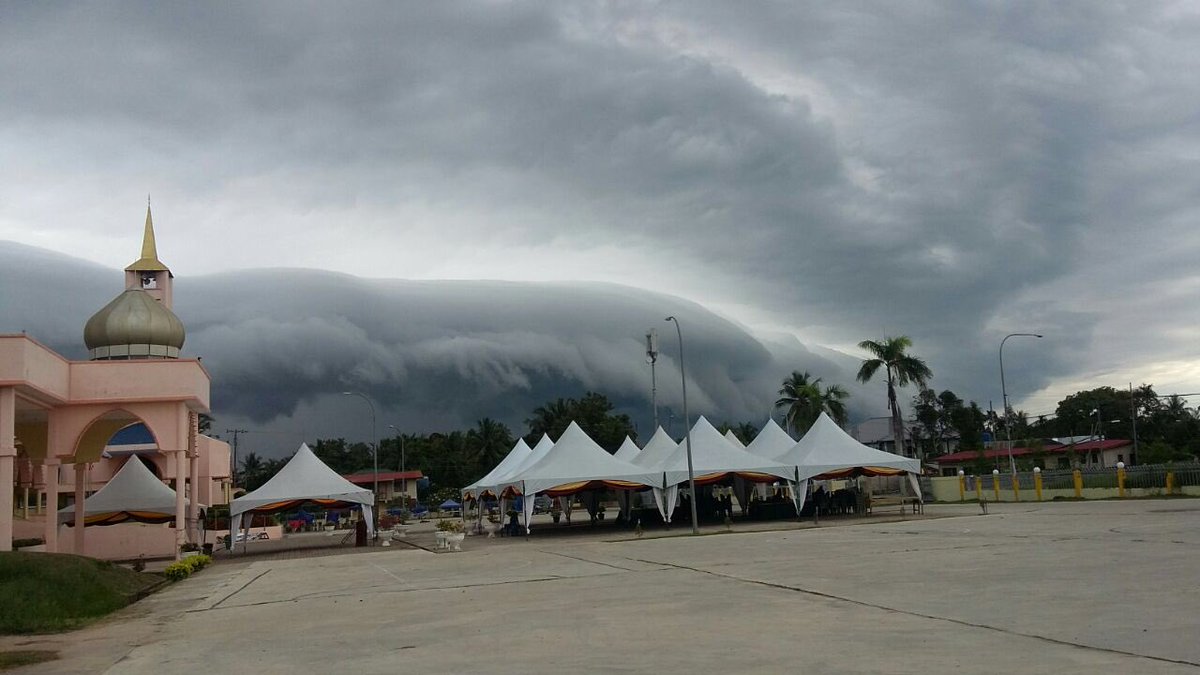
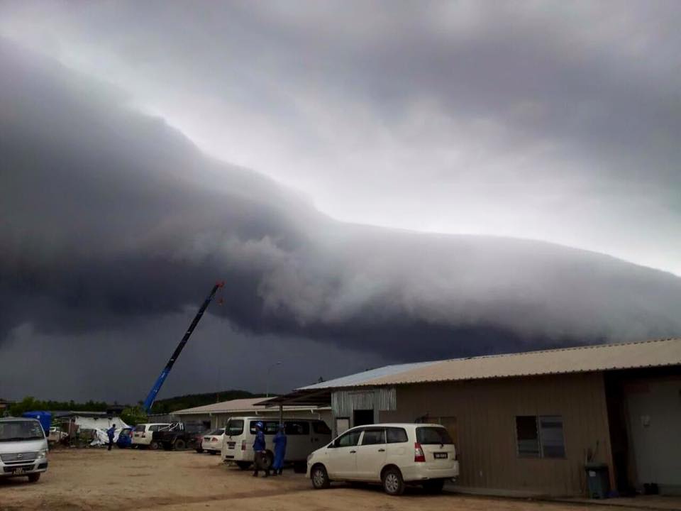
A 'cloud tsunami' startled residents in Sabah as they saw what appeared to be a massive, several-kilometer-long wave stretching across the sky yesterday morning, 27 June
The phenomenon occurred from about 7am until 8am, followed by a brief heavy downpour, particularly in areas around Beaufort and Papar.
Photographs of the cloud formation also went viral on social media.
Eyewitnesses were alarmed by the strange pattern of the clouds
"It was gloomy and looked scary. This is the first time I am seeing such clouds," Kampung Lumat resident Sitti Sahrah Mohd Desa reportedly said, adding that the clouds cleared after the rain that came with strong winds.
Meanwhile, New Straits Times (NST) reported that SK Paras Damit headmaster Marif Yusof had called off the morning assembly in response to the phenomenon. He added that it rained after that but fortunately, the students were already in their classrooms.
According to Beaufort district police chief Deputy Superintendent Azmir Abdul Razak, the public was curious but did not panic.
"Everyone was more worried about the heavy rain and hoping it would not flood," he told Malay Mail Online.
Netizens who were alarmed by the unusual looking clouds said that it could be a sign that the world is coming to an end
It's not the end of the world as some may have claimed, as there is a logical explanation to this phenomenon known as, 'arcus clouds'
Arcus clouds fall into two basic categories: shelf clouds and roll clouds.
This one is a shelf cloud, formed by cool, sinking air that spills from the top of a thunderstorm, slips below warmer updrafts and condenses into a horizontal, forward-facing "shelf."
Roll clouds develop the same way, but they have become detached from their parent storms, letting them roll away like a loose axle.
