Here's Why The Weather Has Been Soooo Hot
Hawt my Gawd.
If you’re frustrated with the heat and flash floods from the hot and damp weather in May...
The Malaysian Meteorological Department (MET) reports the literal hot streak we've experienced might just be the beginning of what's to come.
The south-west monsoon which started on 17 May was commonly associated with less rainfall. As a result, temperatures could be expected to soar within the next few months.
June brings less rain and possibly hotter temperatures! :(
However that doesn't go for the whole of Malaysia as MET Director-general Alui Bahari reveals that although the monsoon will bring less rain to the Peninsular and Sarawak, Sabah will face some rainier weather.
Bahari also states that the dry weather forecast which begins this month shouldn't be drastic, instead the process will likely arise as a slow transition.
“The current wet weather is forecast to gradually subside, starting this month, after the wind patterns of the south-west monsoon strengthen and become uniform," Bahari tells The Star.
The weather as of present is still seemingly rainy
In May, the weather oscillated between wet and warm, causing frequent occurrences of late evening thunderstorms. Although right now may not feel that different from last month, current level of rainfall is considered "normal" according to the reports picked up by weather stations within the Klang Valley this past month.
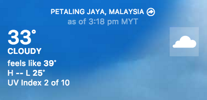
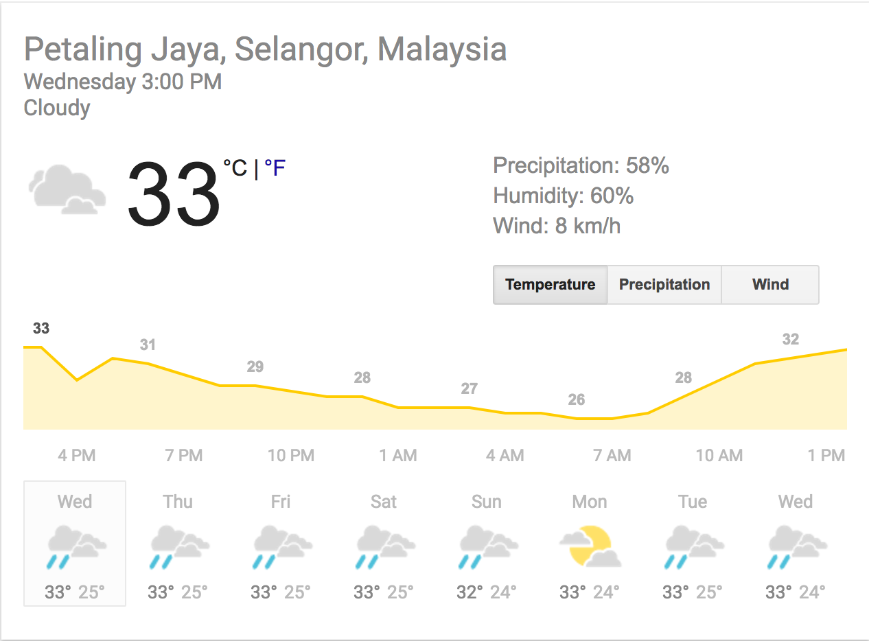
Take this afternoon for example, 33 degrees celsius is just the standard afternoon, in PJ at least.
The south-west monsoon is expected to last until September
An inter-monsoon period is predicted to follow the south-west monsoon at the beginning of October. When that happens, evening thunderstorms will be a common theme once again especially in the west coast of the Peninsular which includes the Klang Valley.
Malaysia has a total of four monsoon season which is south-west monsoon (May to September), north-east Monsoon (early November to March), and the inter-monsoon periods.


